« Back to index

Glacier National Park, August 2013

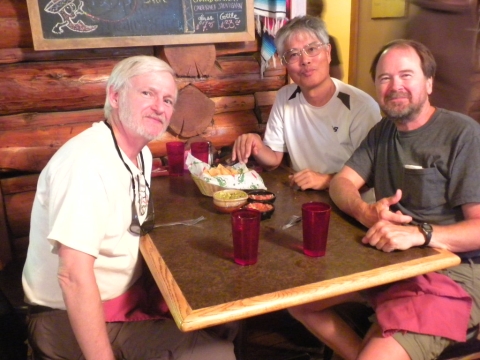
August 2013 TrailHacker and I joined two friends on a 2-week backpack trip through Glacier National Park in Montana. This is us at Serrano's Restaurant in East Glacier. Delicious Mexican food here. There were a lot of surprisingly gourmet restaurants and just generally good food in Montana. Left to right: Tony "TrailHacker", Yoshihiro "Low Gear" and Scott "Shroomer".
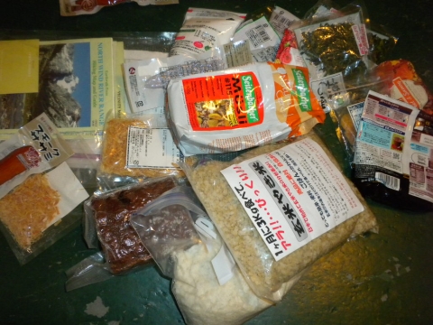
Yoshihiro's backpacking food. He is a university professor from Japan and an expert in Japanese backpacking. He goes heavy. I tried his 60lb pack on and it was surprisingly comfortable. He eats well and his food was the subject of endless curiosity.
Our first stop was Two Medicine to watch a video which was a requirement of our permits. They have a strict way of issuing backpacking permits. You must reserve space in campsites for each night of your stay and each campsite has room for about two - five groups of two tents, sometimes more. Certain really attractive campsites a day's walk from a road are only available to hikers on multiple night trips, too. We were lucky to have passports handy so we could begin in Canada and got an amazing 2-week itinerary that had us hitting almost all the highlights of the park.
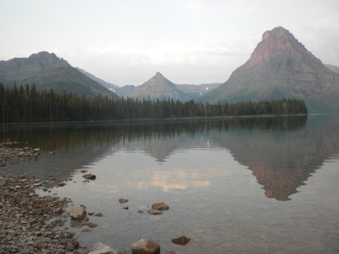
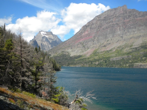
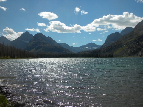
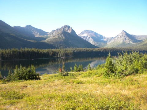
Another picture of Two Medicine Lake.
Now we're driving to Canada. I forget if this is Two Medicine Lake.
On the way to Canada.
Here were are at Waterton Lake.
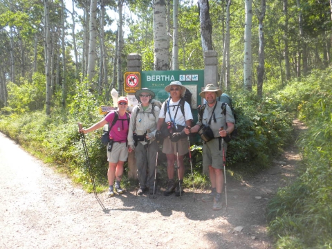
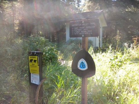
Here we are at the trailhead. That's me in pink.
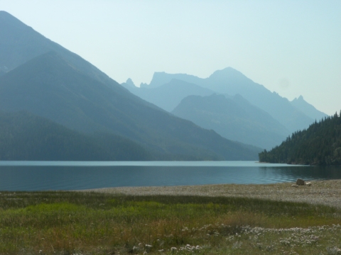
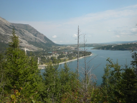
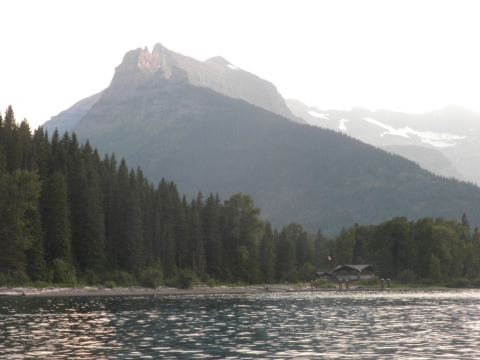
Looking back at the village on Waterton Lake. There's a fancy lodge you can stay at here plus lots of resorts, campsites and shops.
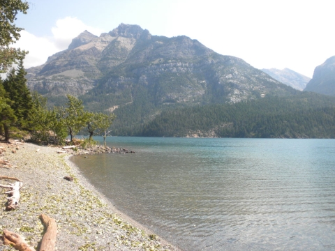
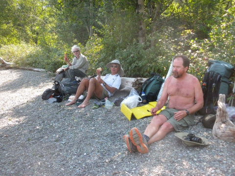
We stopped for lunch on this beach.
Well, it's pretty clear now that my photo album is going to be full of a lot of pictures of hairy old guys.
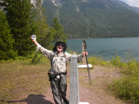
TrailHacker celebrates reaching the Canadian border on the CDT.
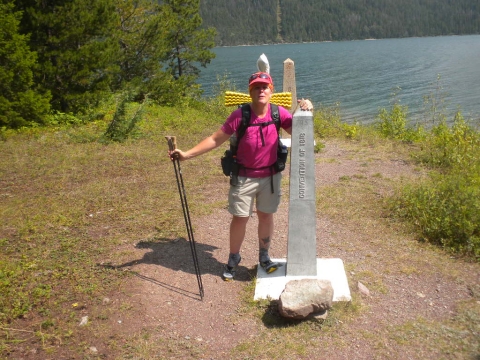
Here I am at the Canadian border on the CDT. I have some pictures here, some in the Winds. Just need a few in Colorado and New Mexico and one at the Mexican border and I can say I hiked the Continental Divide Trail.
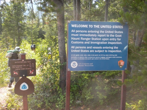
There is an immigration checkpoint on the trail, believe it or not.
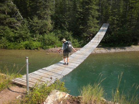
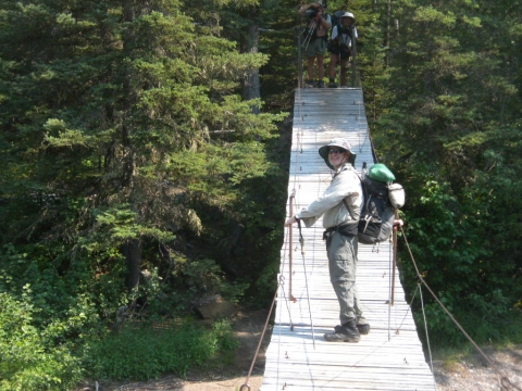
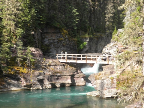
We crossed many of these swinging suspension bridges. We crossed this particular one about 7 times since we had to camp on both sides of it.
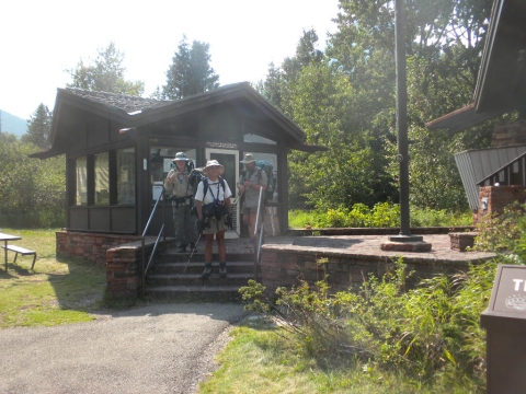
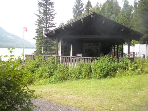
Here we are at the Goat Haunt ranger station. We had our passports checked and stamped by the officials. Yoshihiro was giving the good ol' US immigration harrassment "how long will you be in the US? When are you leaving." Welcome, now get out.
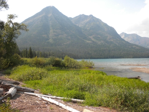
It was a short walk along the shore to our first campsite on our trek.
We camped just up the hill from this International Peace Park exhibit. This end of the lake is a World Heritage site because it is an International Peace Park, a joint effort between two countries. Apparently there are others around the world. Ferry boats would arrive ever few hours and let people off here to look around.
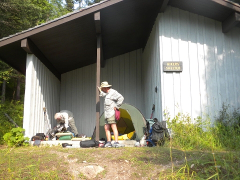
Here is our sheltered campsite. We are in view of the peace park, about 50 yards away from it.
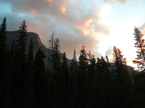
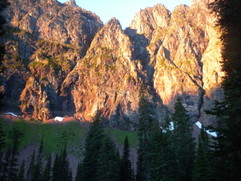
Sunset on the cliffs over the ranger station.
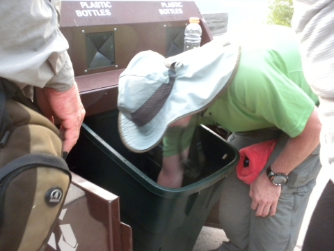
TrailHacker finally reaches official Hiker Trash status by scrounging through the trash in search of some good bottles to use on the trip.
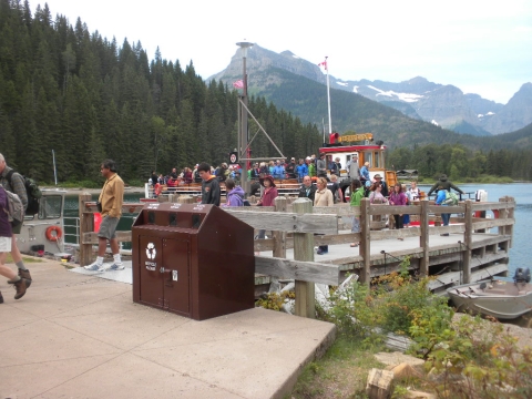
Tourists get off the ferry.
Here are some interesting little berries. They had a fleshy feel to them, like soft skin bags. I liked touching them. I tasted them and they were slightly sweet but Shroomer, our edible mushroom expert, said they could be poisonous. Turns out they aren't, nore are any of the horrible bitter berries I tasted.
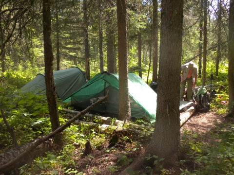
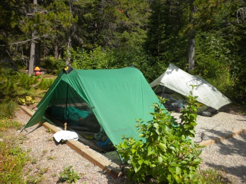
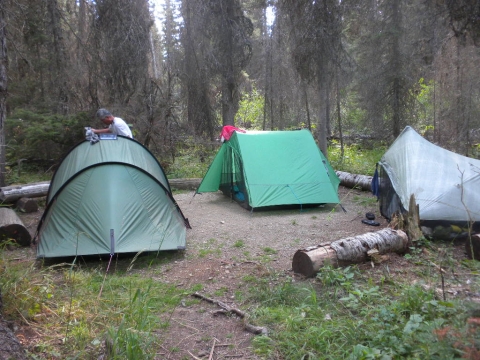
For our second night, we reversed our course back the way we came, back over the rickety bridge, and camped at this nicer forest campsite. These logged in depressions ended up becoming lakes when a thunderstorm sent sheets of rain on us in the afternoon. The bathtub floor of our tent felt like a waterbed and the edge of our tent that was set up over one of the logs collected a huge bubble of water that threatened to come undone and fill the tent with water. I spent the storm with all my stuff packed in plastic and sitting on my foam pad just in case. I was soaking wet from going outside for a couple minutes to empty the bubble. Trailhacker also had to empty the bubble and then he fixed it by setting another line on our tent. Our tent is the green one, a 6-Moons Designs Lunar Duo. It's a good tent.
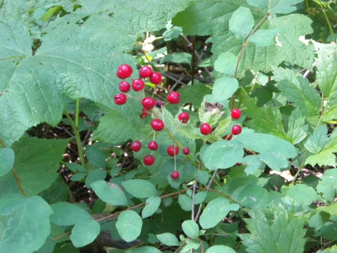
These berries were poisonous. I never tasted them. They looked poisonous.
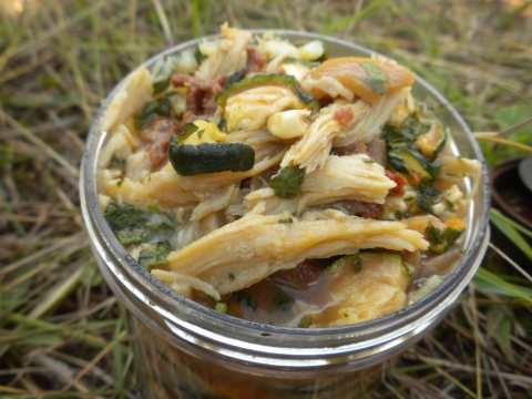
I had this for dinner every night. Chicken, vegetables and mashed sweet potatoes. I dehydrated all this myself and rehydrated it in cold water each day. I went no-cook.
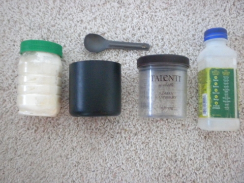
This was my kitchen for the trip. A plastic peanut butter jar for homemade yogurt (there's even yogurt in it now, it's still going), a cup and spoon (cup made from a plastic container that held coconut oil, handles hot water, good for eating yogurt and granola and Yoshihiro's soup), plastic screw-top jar for making dinner (melts with hot water), Naked Juice bottle (for lemonade and coffee milkshakes).
We found some Inky Cap mushrooms so we fried them up. They were tasty, sort of like straw mushrooms that come in a can.
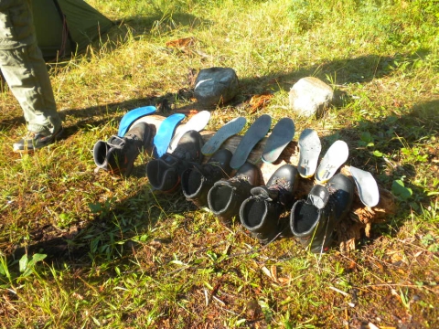
After the big rain storm, the other campers in our campground set their big boots out to dry. This is why I no longer wear big boots. These boots will never dry. Plus boots hurt and really are overkill for what is basically just walking.
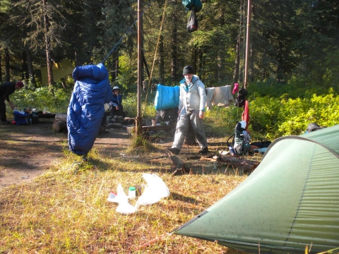
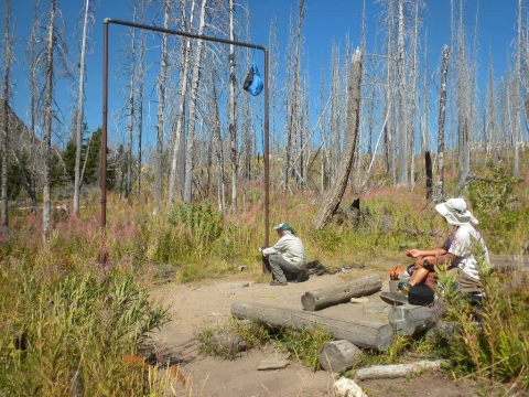
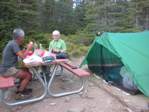
Stuff is out to dry in the food preparation area. Every campground had a food preparation area and an adjacent bear hanging bar. All the campsites were far from the food prep. There was always a pit toilet as well.
Once our stuff dried, we began our arduous 3.3 mile hike for the day. We returned to Goat Haunt ranger station, found the CDT behind it and started walking.
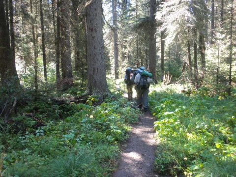
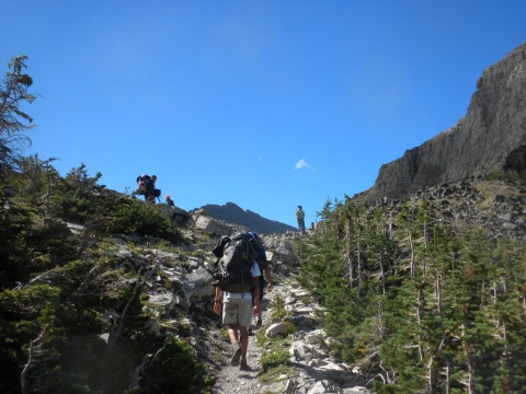
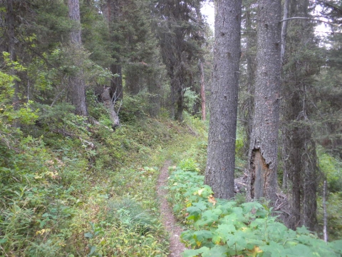
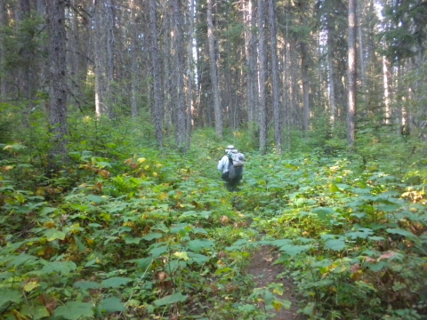
The forest walking was very pleasant.
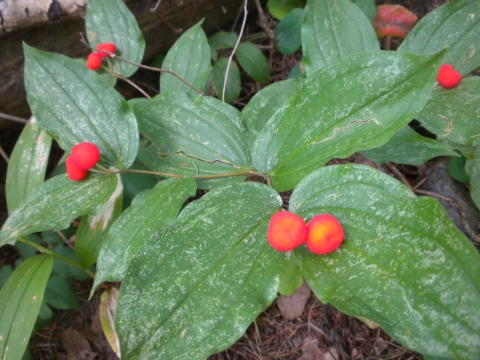
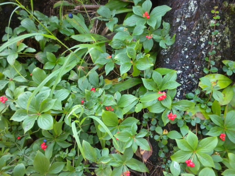
Bunchberries! I remember seeing these in flower in Oregon on the PCT. They were the cutest flower, I thought, and now they made the cutest berries. Turns out they are edible. They were slightly sweet but not worth eating really.
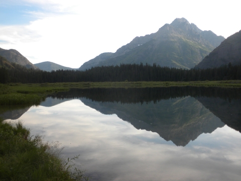
Our next campsite was here at Kootenai Lake. Day hikers would fly-fish this lake (and catch some). There were swans on the far end and at dusk and dawn we saw moose. I couldn't take a picture of the moose because I couldn't get close enough in the dark to see them.
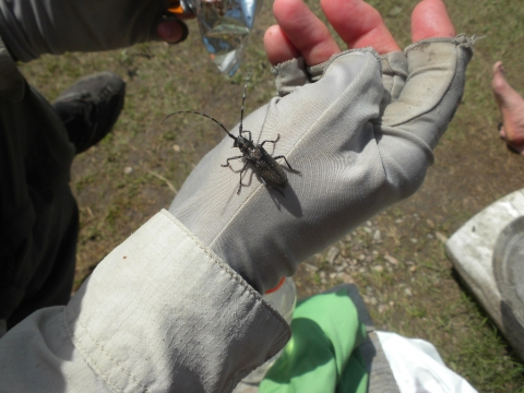
An interesting bug finds TrailHacker.
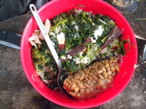
Yoshihiro's dinner: Natto, rice, vegetables, seaweed, chicken and beef. He also would make potato "salad" with dehydrated potato flakes barely rehydrated with cold water with mayonnaise and tuna added.
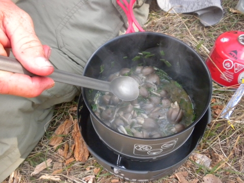
Yoshihiro's soup. We found wild onions near the lake and added them to the soup. Yoshihiro made soup every night and insisted we have some. We now call it Yoshihiro Soup. It's just various dehydrated vegetables, seaweed, arrowroot powder, a tiny bit of chicken broth granules and toasted sesame oil. Not salty enough to me, but pleasant to eat.
Sausage fest at the old Kootenai Lake campground.
The moose appeared way down there at the far shore at dusk. It was great to watch them. None in this picture, though.
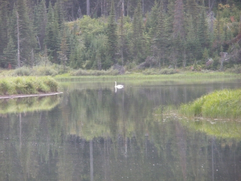
There's one of the swans.
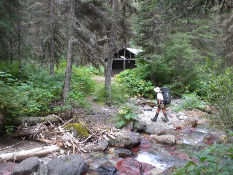
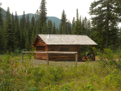
The next morning, off we went for a 20-miler, all up hill. We started in forest. This building is listed on the map as "patrol cabin."
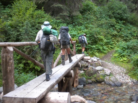
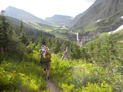
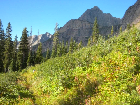
Real pleasant walking in Glacier. Bridges and well-maintained trail most of the time.
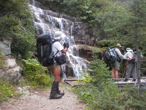
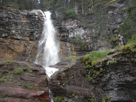
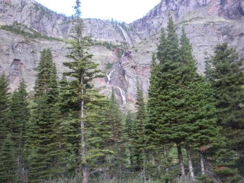
Pretty waterfall. Picture hounds. Yoshihiro made these great hip pockets on his pack. They are enormous and can fit his full-sized camera in one and yet are not in the way when you wear the pack.
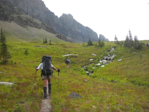
It was so lush and green here. Water flowed well and we did not need to carry a lot of water as we hiked.
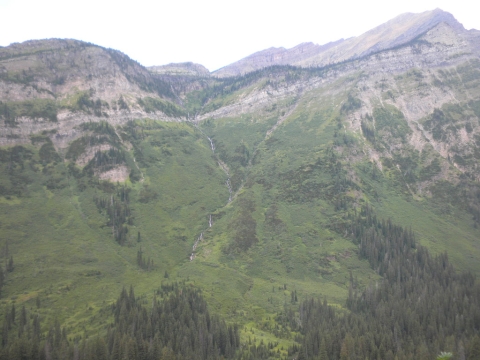
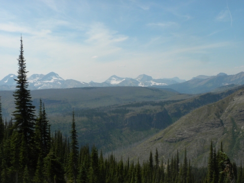
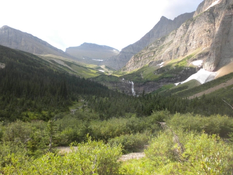
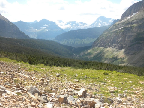
The view started to get pretty grand as we gained elevation.
Here are some scary looking berries. Bitter but not poisonous. Not really edible.
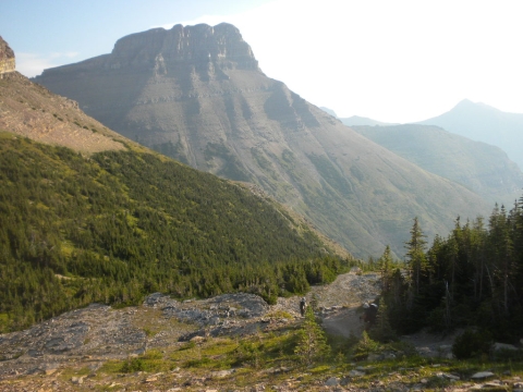
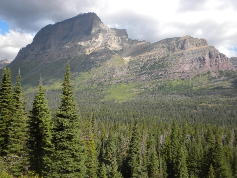
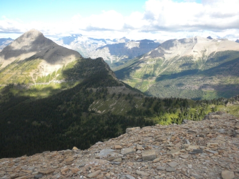
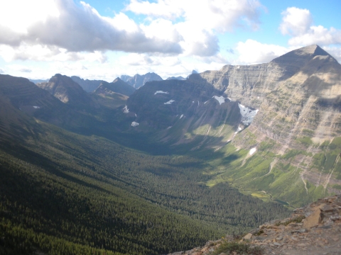
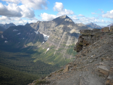
Dramatic views.
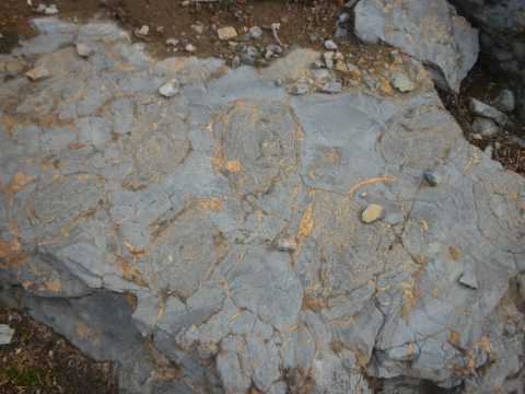
The rocks we walked on were interesting. These were stromatolites, ancient algae organisms. We also walked on a lot of sedimentary river beds with stream ripples in the sand still apparent.
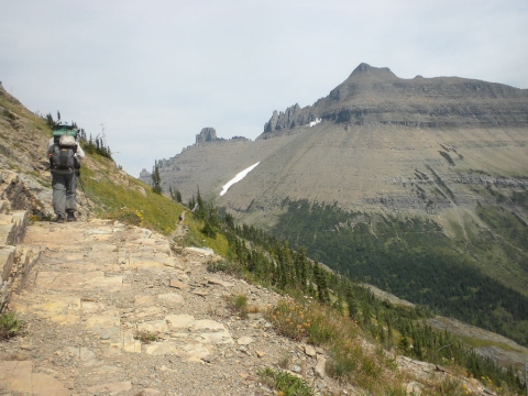
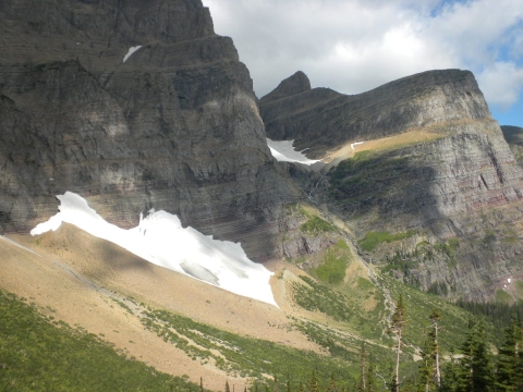
We approached this wall on our way to 50 Mountain Campground. I guess Stony Indian Pass was the only big park highlight we missed. It is on the other side of that wall, I believe.
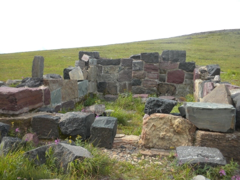
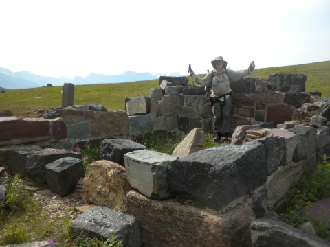
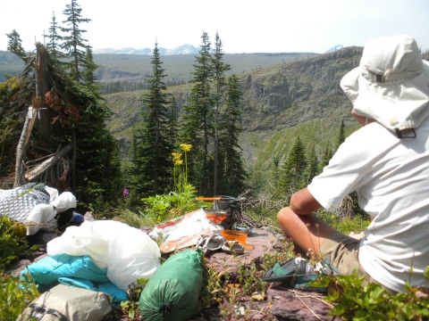
We came upon the ruins of some sort of shelter or building and stopped for a snack.
A good picture of TrailHacker enjoying a break from the long hike. We're about half way at this point. Making good time.
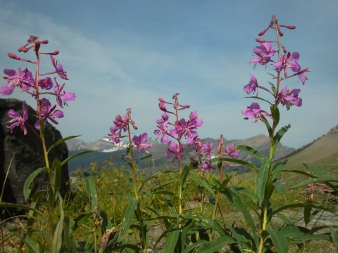
Fireweed.
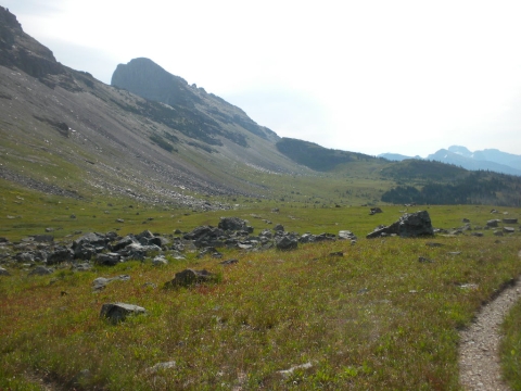
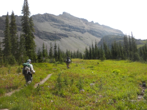
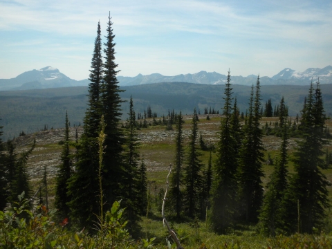
I enjoyed hiking up here on this plain.
Great views and the trail went on forever. That's just want you want in a good trail.
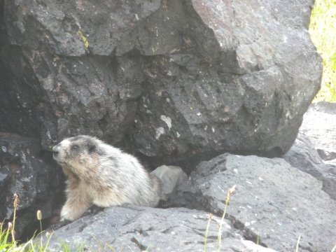
A cute marmot.
Wild onions amid the marmot houses.
Here's the 50 Mountain Camp. TrailHacker thought we would have lunch here. There was a rushing creek below. We thought we'd probably cross the creek so we hiked on. We didn't cross the creek so it becamse a sort of tiring, depressing slog trying to get to some nice water and a spot for lunch.
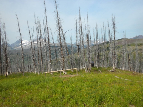
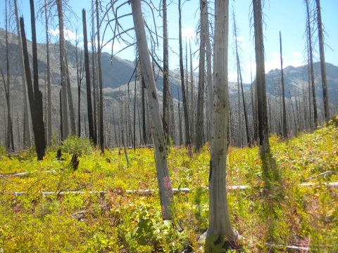
The trees were all dead for miles and miles around in this area. This is still 50 Mountain.
We pressed on hoping for water and lunch.
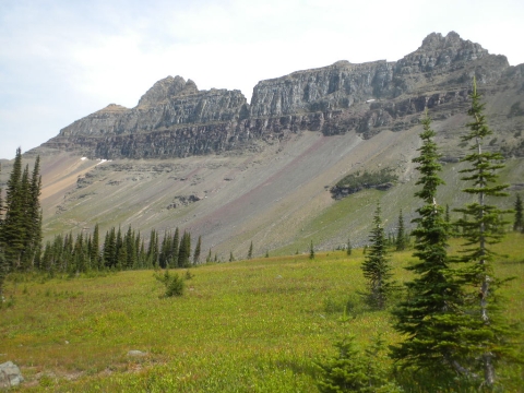
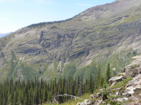
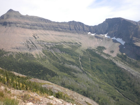
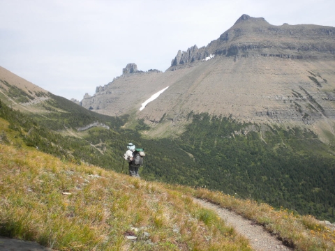
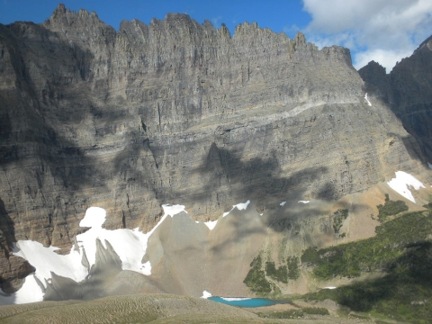
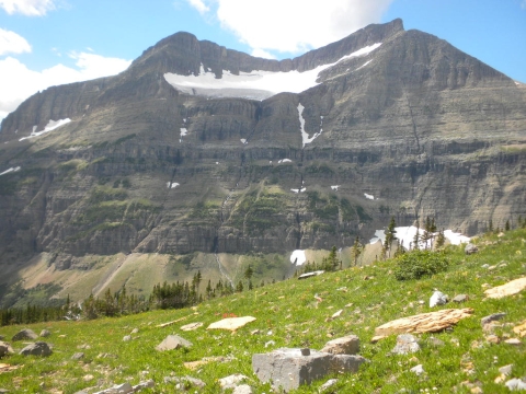
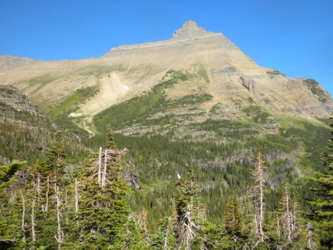
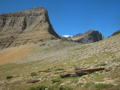
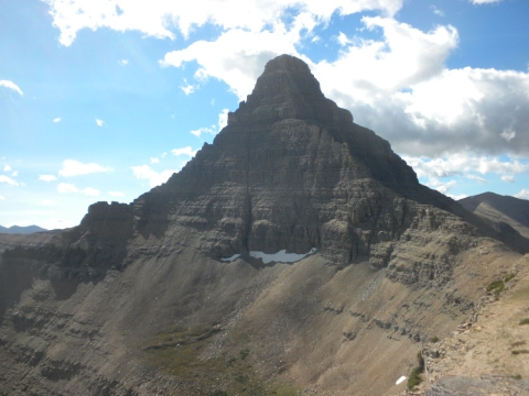
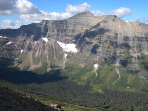
I enjoyed looking at this cliff.
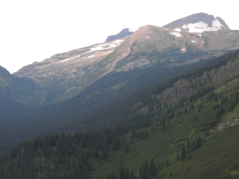
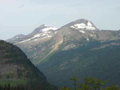
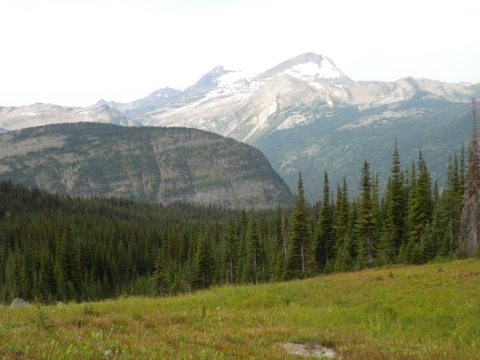
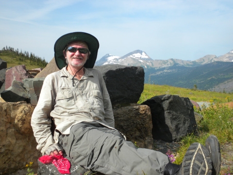
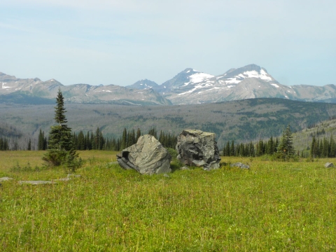
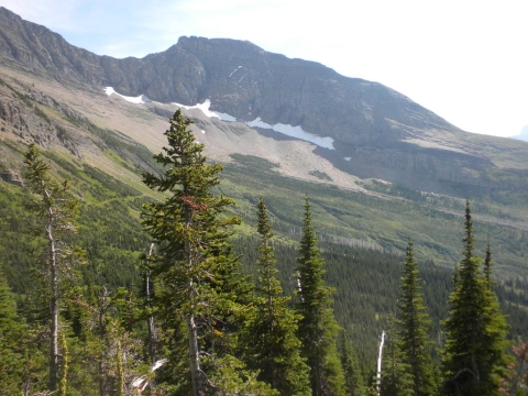
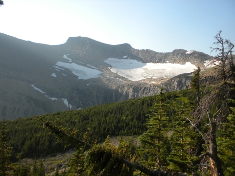
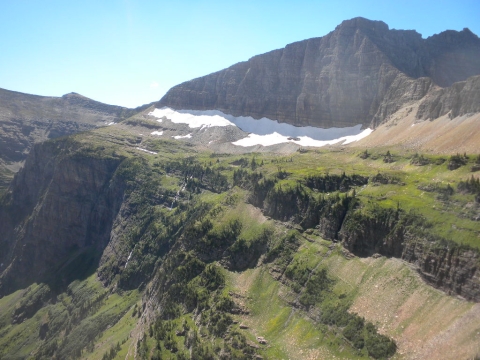
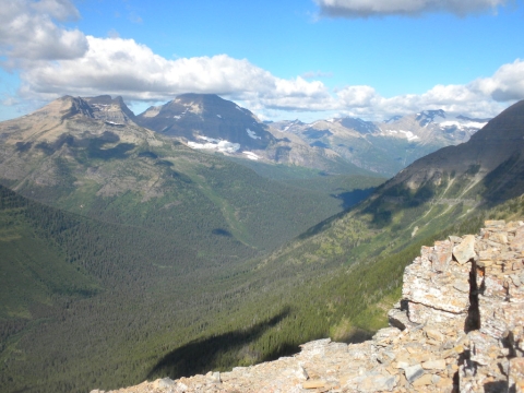
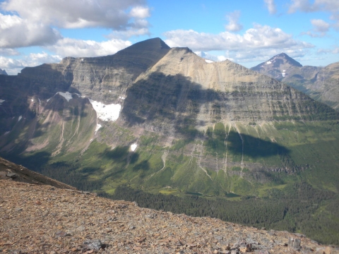
I enjoyed looking at the mountains and glaciers in the distance. They say these glaciers will melt completely out over the summers within the next 5 years. I guess at that point they'll just be snowfields.
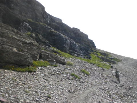
I can't figure out this picture. Why are we hiking so slanted? Why does the picture not make any sense if you tilt your screen?
Finally we just stopped at the first little tiny creek we came to and ate lunch right in the trail. The sun was a little to hot here and there was no shade. It was a really pretty place but without shade, not as restful as it could have been.

I'm bummed I never really noticed what Yoshihiro had for lunches.

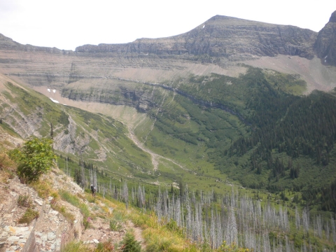
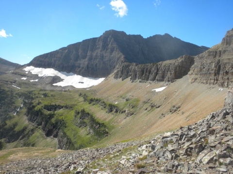
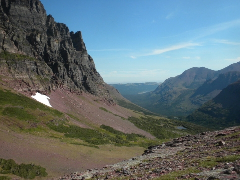
Our next objective was to hike this huge glacial bowl.
I'm now on the other side of it looking back. We got our feet wet crossing that stream.
Still looking back at where we'd come. You can almost see the endless acres of dead trees.
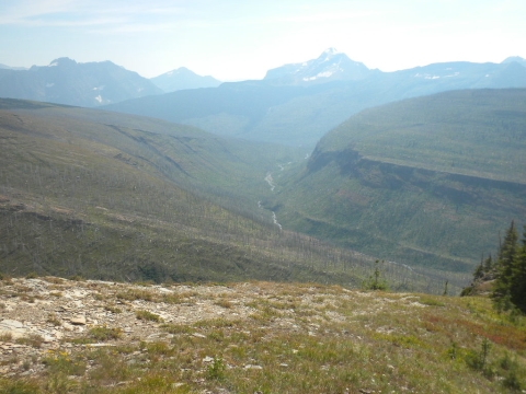
All of that is dead trees. Beetles, I think, but it could also be fire.
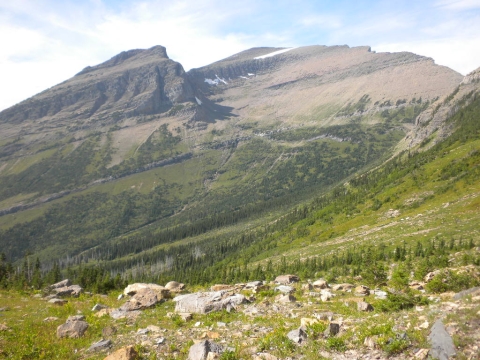
An interesting plateau in front of the miles of dead trees in front of the majestic mountains.
There's a good view of the tree devastation.
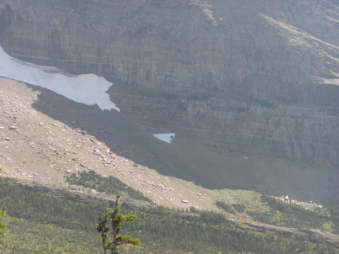
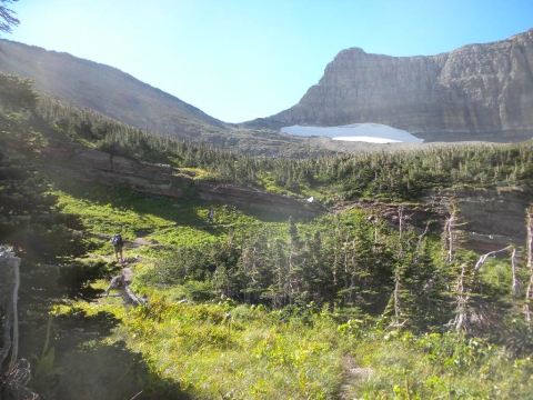
You can see the trail here. Another glacial bowl to hike around. At the far right is some snow. The lowest little triangle is the remainder of the Ahern drift that covers the trail.
Hiking the bowl.
Hiking the bowl.
Looking toward the drift.
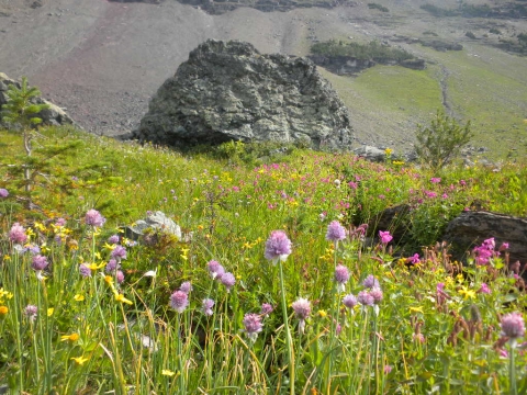
This valley was a delight. Marmots and picas, green grass and flowers.
Ahern drift approaching.
Looking backward at the bowl we just hiked.
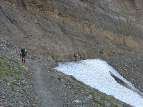
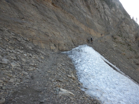
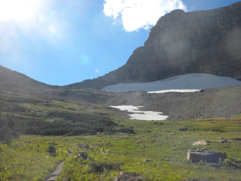
The drift is no big deal.
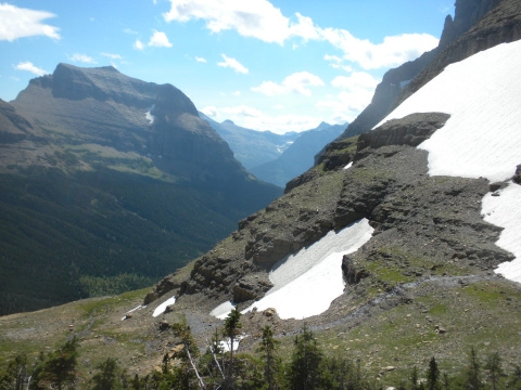
Could be scary earlier in the season, however. Where would you hike if it covered that cliff?
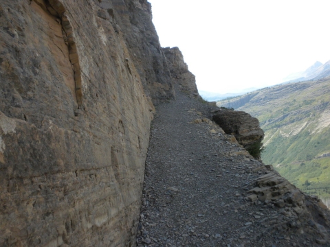
Quite cliff-like here.
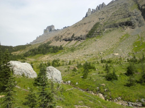
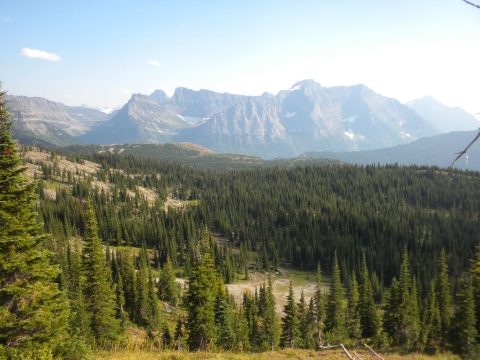
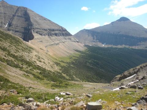
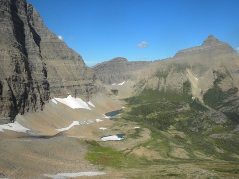
We rounded a bend and could see this inviting little valley below. Our campsite would be down there somewhere.
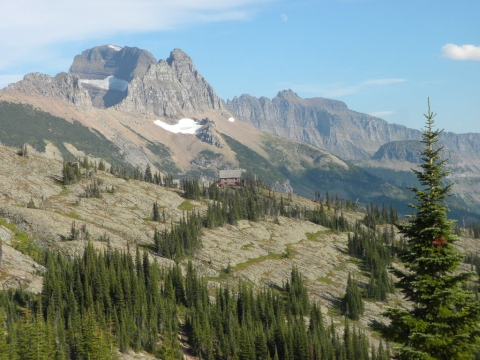
But first we would go visit the Granite Mountain Chalet.
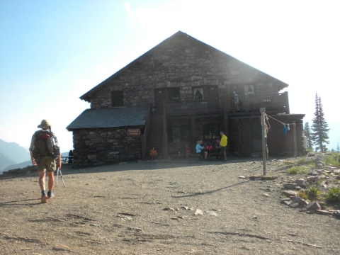
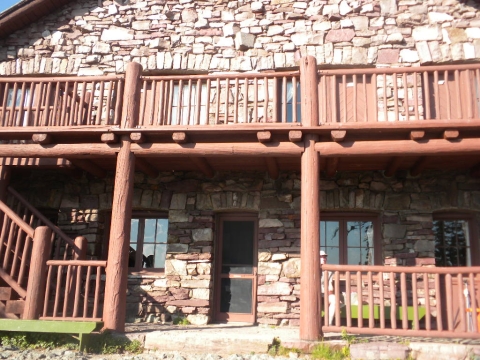
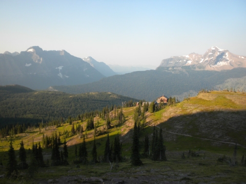
You can actually hike up here and stay the night. Reservations are strongly suggested. We thought we would check and see if they had openings but they didn't. I didn't mind because the weather had been delightful, the nights warm and that valley looked so inviting.
The front door.
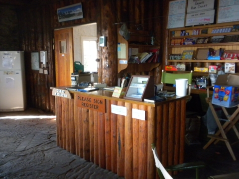
The reservation desk. They sold candy and snacks. There was a kitchen available but you had to do your own cooking. They didn't provide meals or anything. It's close enough to a road that there were dozens of dayhikers visiting and the people who camped there hadn't had a huge hike to get there.

We made dinner here and spent the evening telling some guy who was really interested everything we knew about lightweight backpacking.

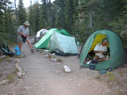
Here's our camp below Granite Mountain Chalet in the official campground. We barely squeezed into this one site. We always squeezed 3 tents into sites sized for 2 tents. Shroomer had planned to share with Yoshihiro but Yoshihiro snores really strongly and it was clear that plan was doomed to failure. So we crammed 3 tents in wherever we went.
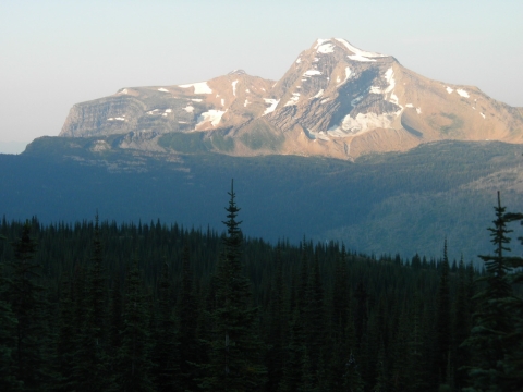
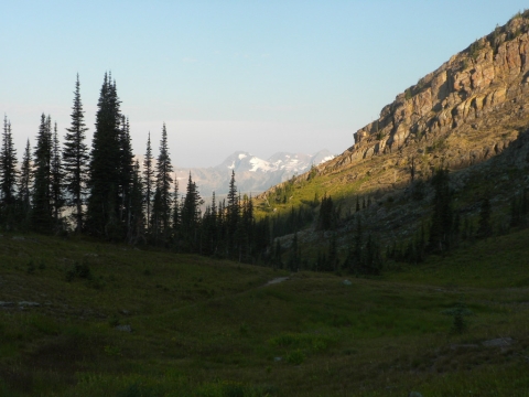
Nice view the following morning. We headed back up to the Chalet as it was on our way to the next stop.
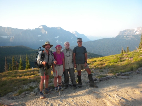
We got our picture taken at the Chalet again with the view in the background.
Off we headed to Many Glacier.
Said good-bye to the Chalet looking so inviting up on its grassy alpine perch.
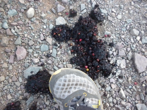
Bear poop with huckelberries in it! We were in grizzly country. We all carried bear spray. Nobody in our group saw a bear the entire time.

Those were my hiking shoes. New Balance Minimus 730 or something like that. Really minimal but my feet felt great.

Heading down to Many Glacier. We were looking forward to a resupply, a restaurant meal and showers. What was not looked forward to was the car shuttling. By the end of the day, TrailHacker announced he'd done 250 miles of driving. Ugh. We shuttled cars here, at another location further along, and once again to complete the hike. Too much driving but it was nice not to have to carry all our food for 2 whole weeks and get some showers and laundry mid-way. The restaurant meals were welcome, too.
Big glacier!
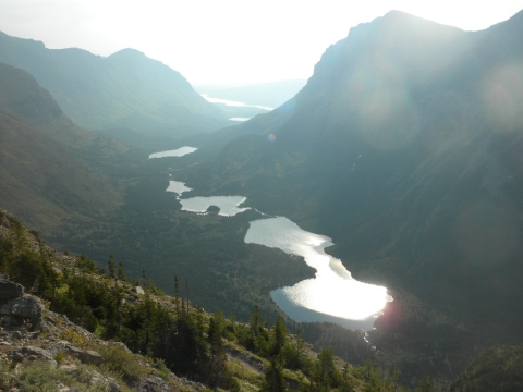
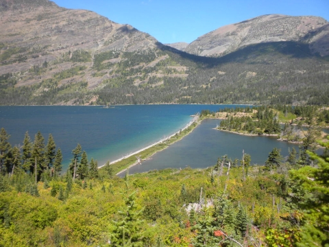
String of lakes leading to Many Glacier.
Here I am. That plastic thing behind my head is my strumstick. It's a little dulcimer made by McNally. "No Wrong Notes." It's pretty true, too. I while away many hours playing it.
We passed by this swimming hole fairly reluctantly.
Looking back up at where we had come from.
Our site at Many Glacier campground. This was a car camp. We got a meal at the restaurant here, did the car shuttle and also had a meal at Two Sisters restaurant near Babb. It's a purple building on the highway you really can't miss. If you are ever there, the food is really good. I had the chili burger.
The next day we headed out of Many Glacier to Piegan Pass.
I had no idea it was going to be so dramatic.
I picked berries along the way so that I could eat them all at once instead of just a couple at a time.
We aimed for that waterfall first.
We picked up a buddy to hike with for a few days. His name was John, from Las Vegas, and he wore 5-Fingers shoes. He was fun to hang out with.
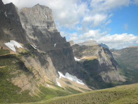
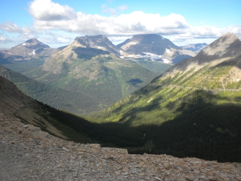
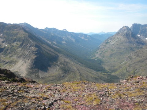
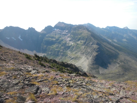
I was amazed by how breathtaking these cliffs were. I could hardly photograph them. The views all over Glacier are usually too big for your camera.
We stopped here, almost at the summit, to have lunch out of the wind.
The other side was equally as shockingly beautiful. TrailHacker and I lingered slowly on the way down just amazed at the beauty.
Far below was Going to the Sun Road and a spot called "The Loop."
Glacier remnant.
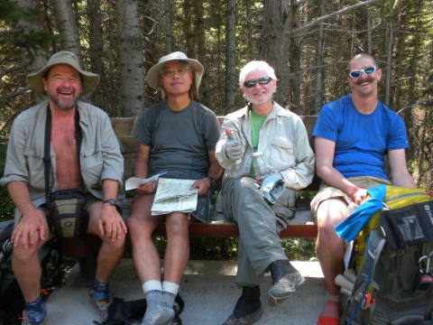
We reached the road after a very long and suddenly very steep decent through lots of thimbleberries and took a rest on a bus bench. The guy on the right is John from Las Vegas.
We continued on after a lot of laughing and joking to our campsite at Reynold's Creek. Lots of dayhikers went by. No other campers. It's hard to camp here. Unless you are on a longer trip the rangers won't let people on short trips stay here. Otherwise then people on longer trips would have a hard time finding a place to camp and the place would probably get abused by too many weekenders.
Why would that happen? Because of the awesome swimming holes here! We spent our evening swimming in the ice cold water and resting.
And of course, eating.
A beautiful sunrise greeted us for our next day of hiking. Our next goal was Red Eagle Lake.
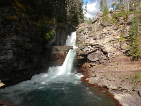
Gorgeous waterfalls all along the way. This was the first of the day.
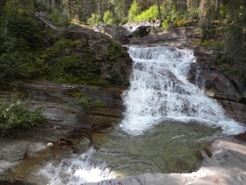
We passed a lot of small ones like this one.
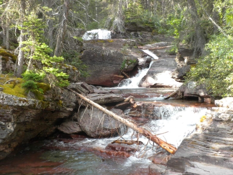
A lot of little cascades.
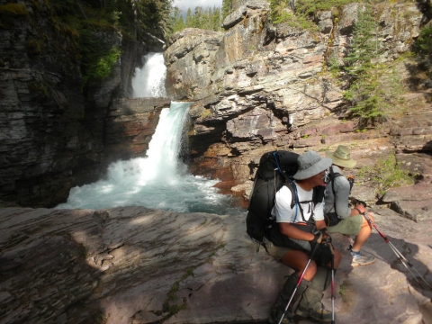
This is Virginia Falls. It was really impressive up close and the spray was really cold!
Always nice views.
First we walked along giant Lake Mary for a while.
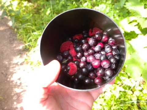
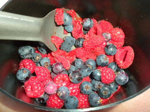
There were so many berries all along the way I collected and ate so many berries I started to get sick of them. My cup has huckleberries, thimbleberries, service berries and raspberries.
Lake Mary. It was quite pleasant here.
Silver Dollar Beach on Lake Mary.
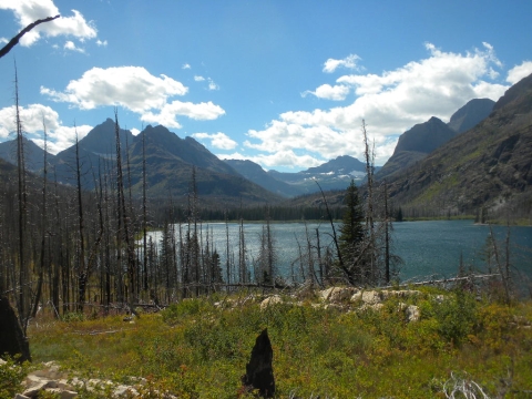
Then we turned a corner away from Lake Mary into dead forest. Ugh, it was hot and dry here and the wind was coming up. We took a cross-country short-cut.
Here's Red Eagle Lake where we camped. We camped at the Foot. There was another campground at the Head which wasn't so full of dead trees. This was actually the nicest of all the lakes we stayed at, as far as swimming is concerned. The water was not nearly as cold as all the others. It was delightful.
The wind was cold and blew mercilessly, but the sun was hot. It was hard to relax in the food prep area and we got very little sleep at night because the wind sounded like a freight train as it came across the lake and hit the dead trees.

Still, it was a really nice evening because the camp filled up with a lot of fun and nice people who shared wine and great stories with us.

Good-bye Red Eagle Lake.
Onward we went to Triple Divide Pass.
The pass approaches.
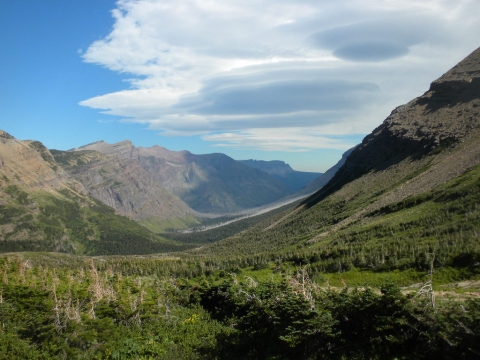
UFO clouds build as we look back from near the summit.
The summit is approaching.
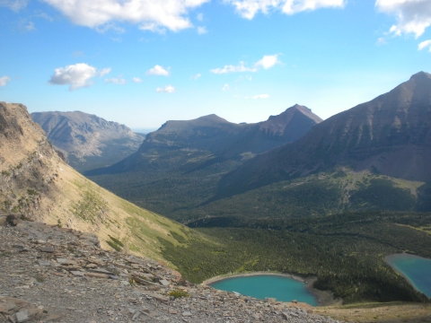
Glacial tarns.
The summit is here!
We sat at the summit for a while and watched some sheep way down below us. At Triple Divide Peak you have your choice: You can pee into the Hudson Bay drainage, the Columbia River drainage or the Mississippi River. I chose one last pee into the Hudson Bay.
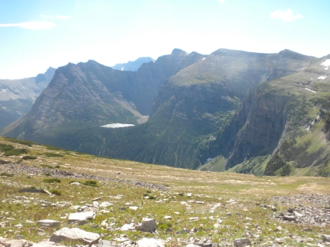
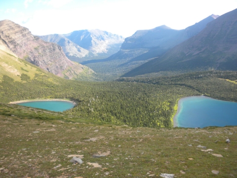
A hanging valley with a tarn lake. We were mesmerized watching the wind dance on the lake.
Still at Triple Divide Pass. Lots of other backpackers and day hikers here, too, as it was with all the passes. The park is really accessible to people who want to hike.
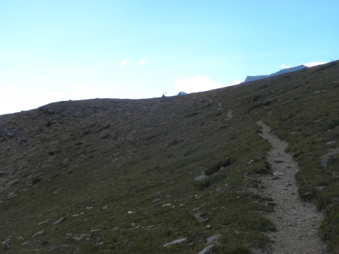
Leaving Triple Divide Pass.
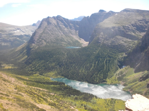
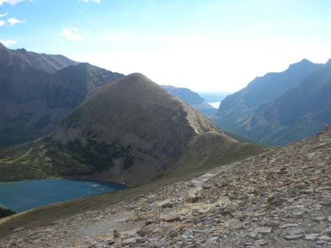
There's that lake. It's unnamed on the Map but it's just below Medicine Grizzly Peak and above Medicine Grizzly Lake.
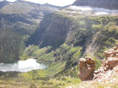
The cliffs here were just awesome. It looked like Hawaii almost (except I've never been to Hawaii so it probably looks nothing like it.)
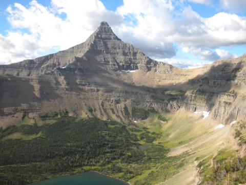
Medicine Grizzly Lake is at the bottom.
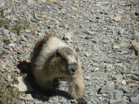
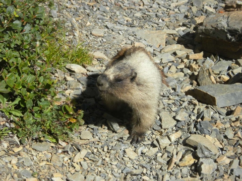
I tried to get a picture of this marmot. Trouble was, instead of running away from me, he kept walking toward me. I think people probably feed him.
He's quite disappointed in me. I did not feed him.
We're finally at the "bottom." Of course there's still more desending to do.
Probably there are moose here in the evenings.
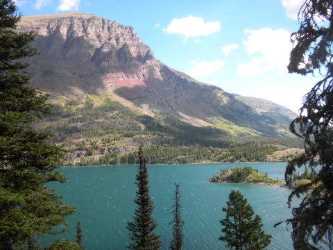
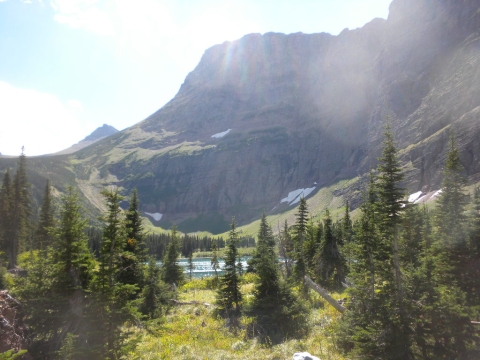
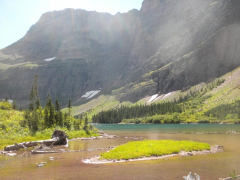
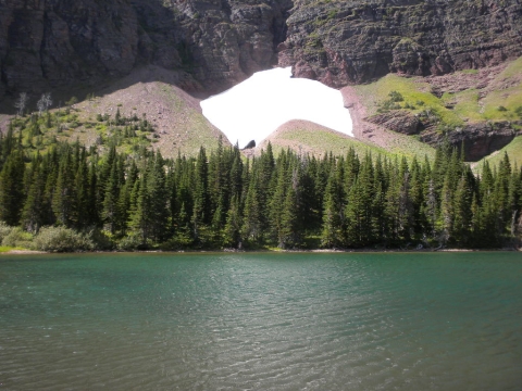
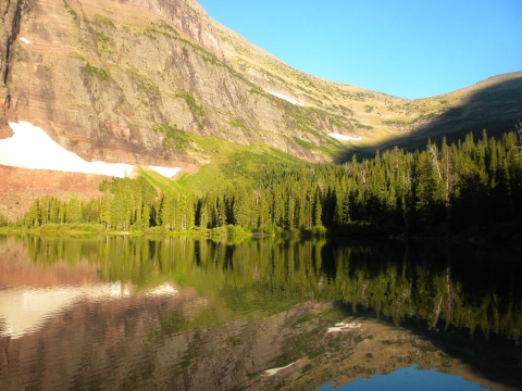
We camped here at this lake, Morning Star Lake. It was a lovely lake and probably the loveliest campsite of them all. The water was really cold, however.
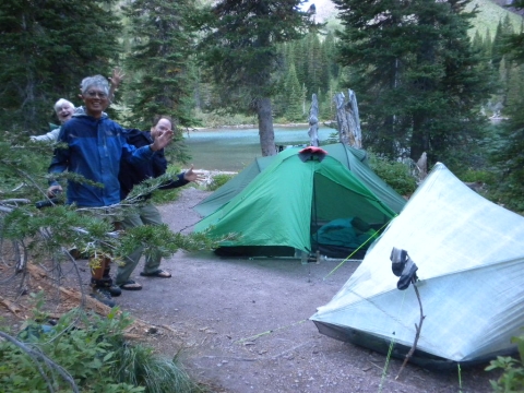
Our campsite at Morning Star Lake and the goofy big giant boys I camped with.
Morning Star Lake in the morning. Good-bye Morning Star Lake.
Off we go. I didn't look at the itinerary so I was unprepared mentally for what was next.
I think that's Pitamakin Lake
Pitamakin Lake.
Pitamakin Lake and its buddy.
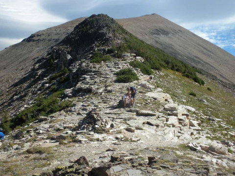
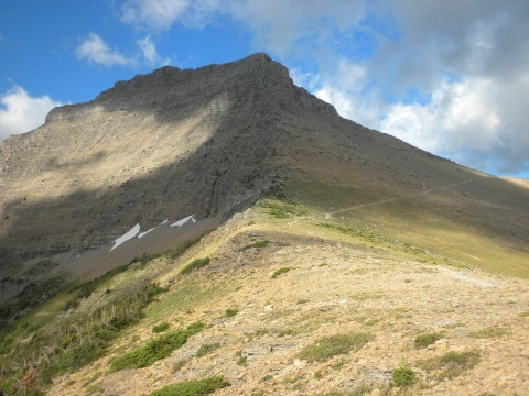
Pitamakin Pass. This was going to be an exciting day!
I think that's Mount Morgan.
Hey look! ANOTHER pass! In fact, we had our choice of two trails. We picked the higher one to Cutbank Pass.
The wind was blowing so hard it was hard to stand up. The views at Cutbank Pass were amazing but so hard to stand up! Plus it was like cliffs all around.
It was turning out to be just like the Goat Rocks in Washington on the PCT. Highlight of the PCT. Now this was the highlight of Glacier.
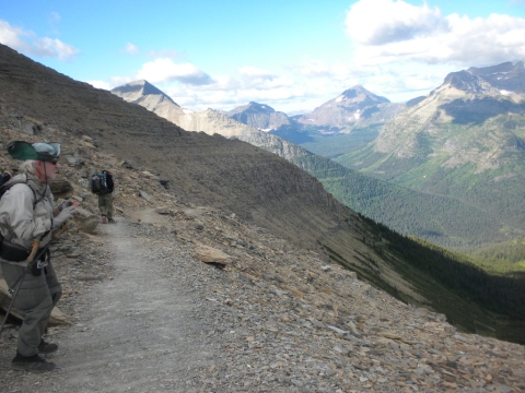
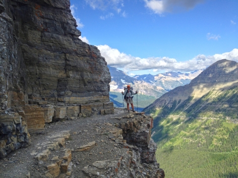
TrailHacker struggling to stand up and take a picture without blowing away. You can see how cliffy it is here. The views were spectacular.
Looking back.
Looking out toward the plains of Montana and Canada.
Looking southward to where we're headed.
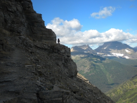
Yoshihiro on the cliff.
Me on the cliff!
Heading toward Dawson Pass. Along the way, Shroomer scared some mountain sheep. I only saw their poop and urine. I looked around for the sheep but didn't see them. This type of thing happened a lot since I preferred to hike in the back. There was too much rushing out in front and I preferred to be able to stop and look at things. I would run or walk really fast to catch up again.
Couldn't get enough of the view.
I think this is Mt. Helen.
The views were nice and clear today. There had been alternating days of smoke and haze due to forest fires all throughout this trip.
I think we're at Dawson Pass or close to it here.
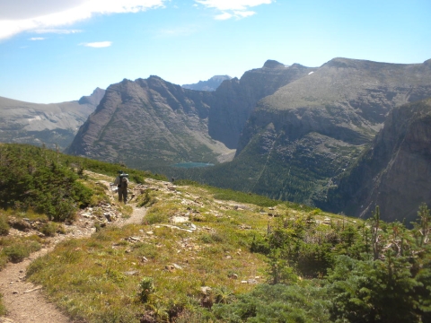
Looking over the other side now. Our next camp will be near that thin wall at that lake below.
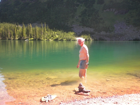
TrailHacker taking a dip at No Name Lake. That's its name. There was a petition to change its name but it failed because everybody knows the lake as No Name Lake. It's a very nice lake and it was a very nice camp with again very nice people staying there. Shroomer met a trail guide there that he had met a year ago when he was thru-hiking the CDT so they had lots to talk about. There were some guys there with homemade elk jerky and chili that they shared.
No Name Lake.
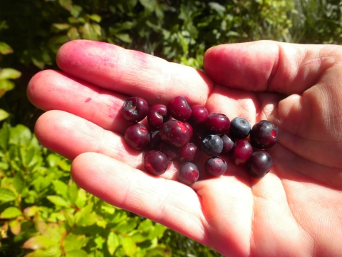
Lots of berries here at No Name Lake. I did a little foraging and ended up with purple fingers.
Huckleberries.
The wall turns pink/orange at No Name Lake in the morning.
Good-bye No Name Lake. You are so pretty.
Hello Two Medicine Lake.
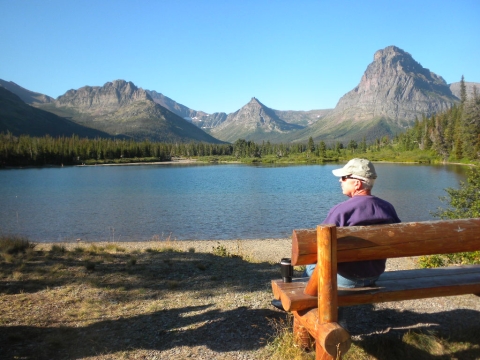
Of all the car camp lakes we visited, this one seemed most rustic and scenic. I should have come out to these benches to watch the gorgeous sunset but I conked out and fell asleep before sundown. This picture is still morning and we still had another car shuttle to do. We had to get the car at Many Glacier and move it to our final destination. We also had to take showers and eat two restaurant meals, again at Many Glacier (I skipped) and Two Sisters near Babb (great food.) Guys sure eat a lot. Two restaurant meals back to back was just too much for me.
Here's our campsite at Two Medicine after all the car shuttling, showering, laundering and lunching. Kinda cramped.
Our next excitement (and pretty much our last) was Two Medicine Pass. One nice thing about the high alpine passes here is that they're not that high. 6000 or 7000 feet. So it's not like going to the Sierras and dying of suffocation in the thin air. You can hike strong all the way to the top.
More dead trees on the other side of Two Medicine Pass.
There's the valley we will hike down to complete our trip.
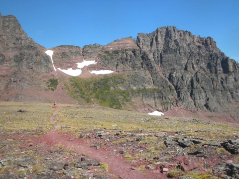
Here comes a hiker in the red rocky trail.
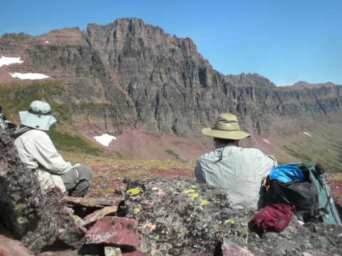
We stopped up here to have lunch and talk to everybody who hiked by. Shroomer is very outgoing and likes to meet everyone and find out where they are from and chat them up for hours.
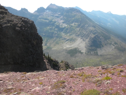
Looking over the side.
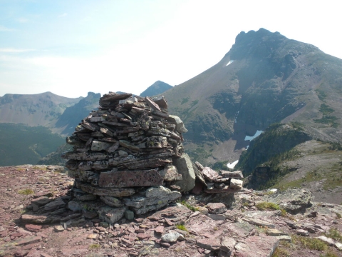
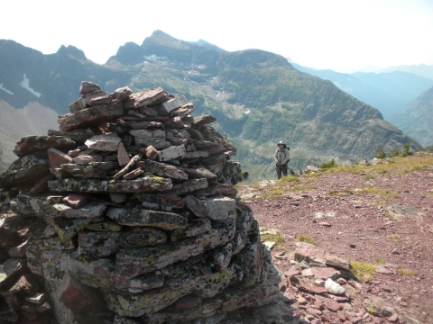
We continued hiking and passed this large cairn. Perhaps this is the summit.
I hope I didn't catch him peeing or something.
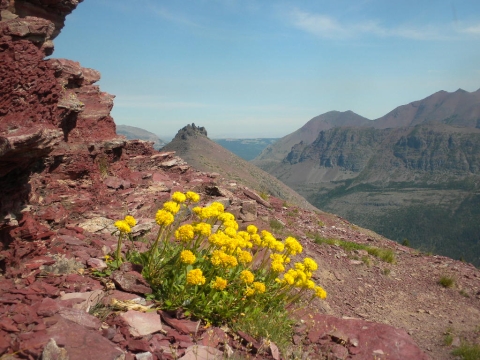
Pretty alpine flowers in the red rocks. The trail was like a mountain goat trail. Kinda treacherous and very steep going down.
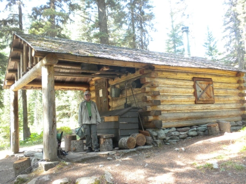
The downhill was very steep and tiring and not very picturesque. At the bottom we reached this patrol cabin. Adjacent to it was our campsite at Upper Park Creek.
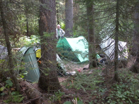
It was a delighful, wooded campsite full of lots of really nice and fun people. I went to bed fairly early but Shroomer and TrailHacker ended up basically giving them TrailHacker's powerpoint talk on John Muir and his wine. It's a fascinating talk that he gave at a Sierra Club dinner one night. Of course, he gave the talk without the slides, but apparently it was well-received.

It's nice to hang out with out-going people. Yoshihiro hid from the others as much as he could. His English is not that good so you can tell it tires him out after a while trying to understand and communicate. I just get sleepy.
The next morning we got going down the canyon through the woods and berries to our final campsite. We actually had two more camps on our itinerary but we were now so close to our cars it made little sense to use the extra night.
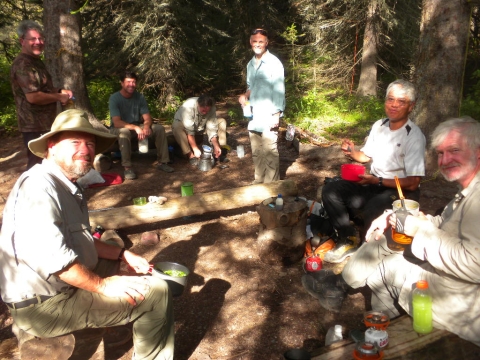
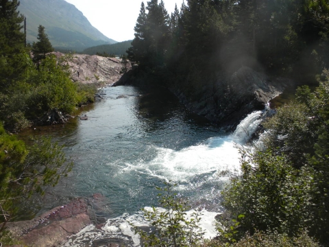
Our final camp was at Lower Park Creek adjacent to another patrol cabin. A goat count volunteer was staying in this cabin.
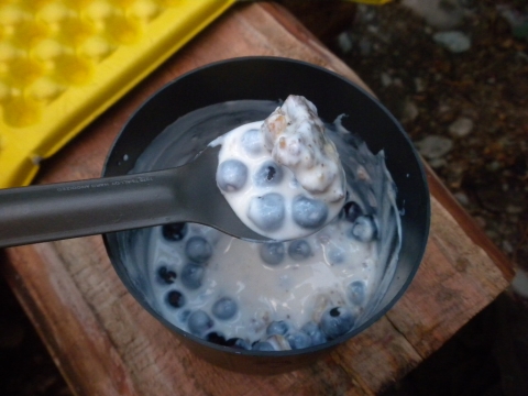
I picked 2 pints of berries on the hike between Upper and Lower Park Creek camps. I had half of them for breakfast in my homemade trail yogurt. So delicious! Yep, I cultured yogurt every day on the trail from powdered Nido milk. It came out great.
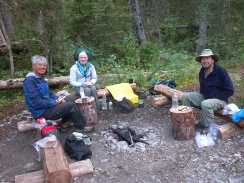
Our rag-tag crew of hairy old geezers at the end of our trip. Nothing left to do but hike out and go home.
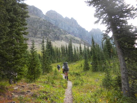
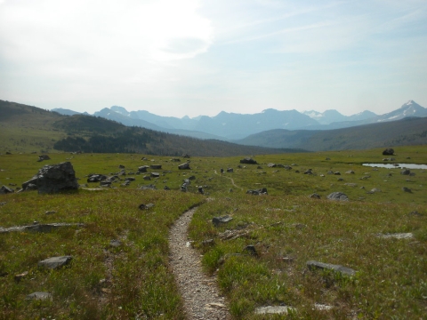
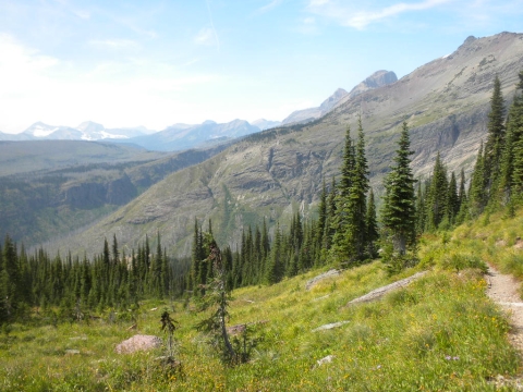
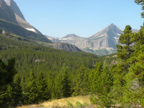
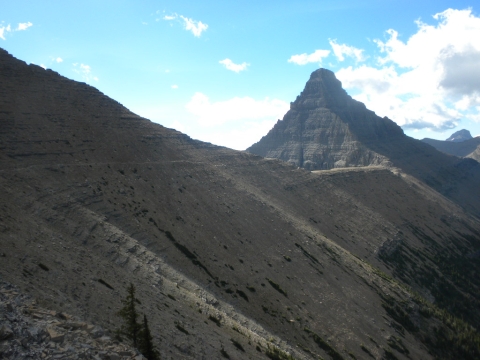
The rest of the hiking looked like this. This was a wonderful trip. It was so relaxing and the way the camping is set up made it so social and pleasant. The mosquitoes in mid-August were mild. I highly recommend a visit to Glacier.